Menu

800-248-6277
We will ship most products anywhere you are
Monday-Friday 9 to 5 Central

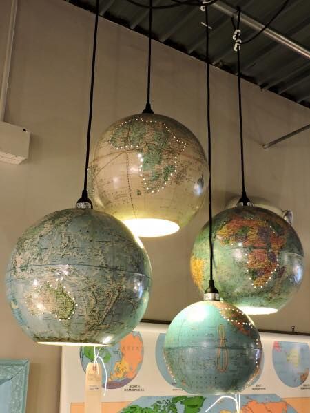
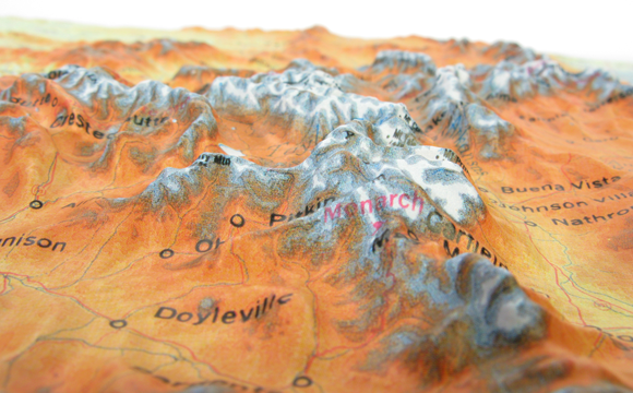
From custom maps to atlases, globes and related geography products, we offer an extensive assortment of products and map services for personal, educational and professional use.
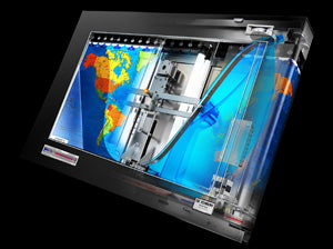
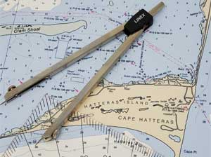
As a market leader for all things map-related, we are passionate about providing map products that meet the highest standards of quality and durability. We reward our customers with superior products and excellent service delivery and make every transaction an enjoyable experience.